Limited access to up-to-date and detailed urban terrain data hampers effective city development planning.
Existing mapping techniques are unable to quickly adapt to rapid urban changes and expansions.
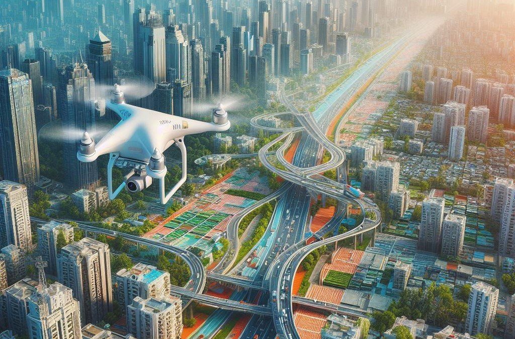
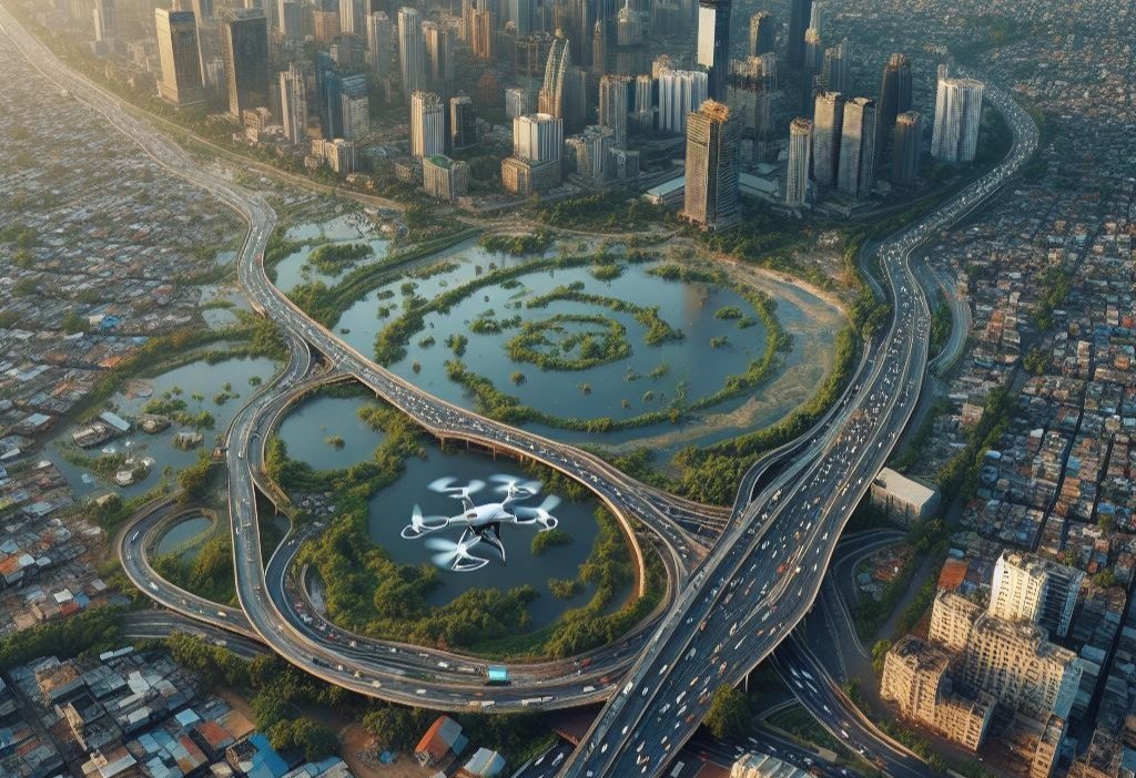
By leveraging drones equipped with advanced imaging technologies, Streetsight AI is able to automate the process of conducting road surveys & city mapping with unprecedented efficiency and accuracy.
Our AI and Data Solutions
Drones equipped with thermal imaging and night vision capabilities offer round-the-clock mapping possibilities.
Real-time 3D mapping technologies enable the creation of dynamic city models, facilitating urban design and planning in virtual environments.
Automated pattern recognition identifies changes in urban landscapes, ensuring maps are always current.
Impact on Smart City Transformation
Precise and dynamic mapping data assists in optimizing land use, enhancing green spaces, and planning new infrastructure
Facilitation of smart transportation networks by integrating real-time mapping data with traffic management systems
Improved risk assessment for natural disasters through detailed topographic data, enhancing resilience and emergency preparedness